Real teams putting their maps online with Mango — how they did it, and what changed.
How a University of Manitoba research team used Mango to map Winnipeg's food deserts and turn socioeconomic data into a story the public could explore.
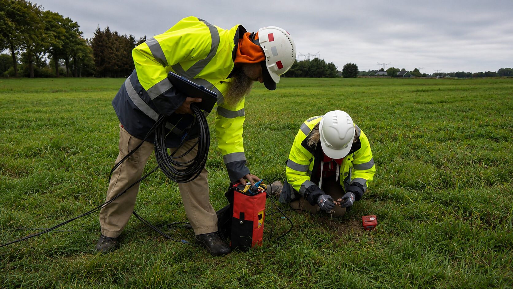
How GIS consultancy DavSeis kept a 300-person nationwide seismic survey working from one live, always-current map.
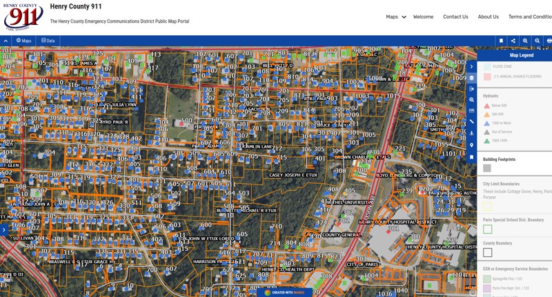
How a Tennessee 911 office replaced a $30,000 Esri quote with a $2,000 blend of QGIS, Fulcrum, and Mango — without giving anything up.
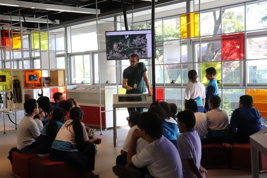
How SESC in São Paulo turned georeferenced data into a hands-on sustainability education tool for the community of Guarulhos.
How Malaysian urban-impact agency Think City used Mango to democratise city data through its public Urban Analytics portal.
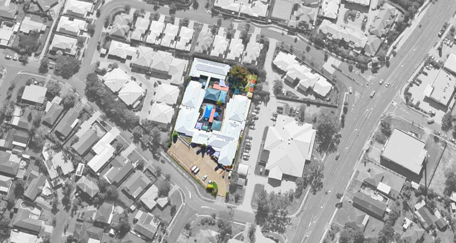
How an Australian consultancy whitelabelled Mango to turn proprietary datasets into self-service, subscription-based mapping products for its clients.
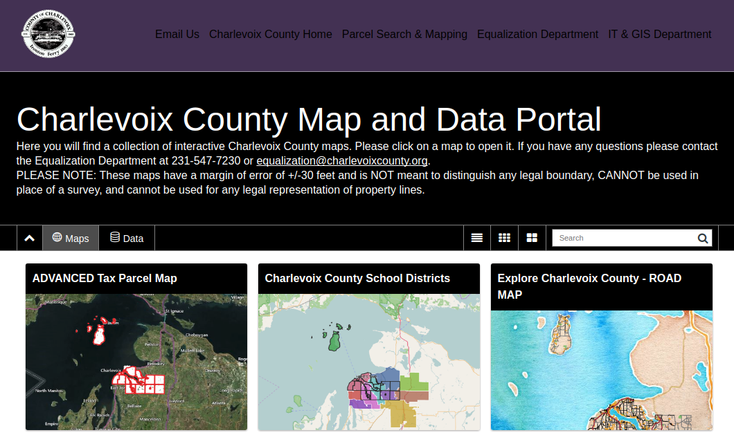
How a Michigan county paired a new website with an easy-to-use, embeddable Mango mapping application.
How Columbus County replaced an antiquated server-based GIS with a Mango map portal that now draws more than 17,000 views every month.
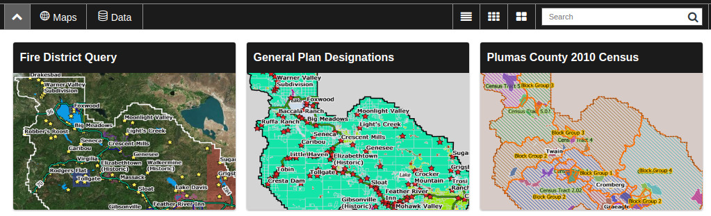
How Plumas County's GIS division replaced an out-of-date public mapping platform with an intuitive, cost-effective Mango portal.
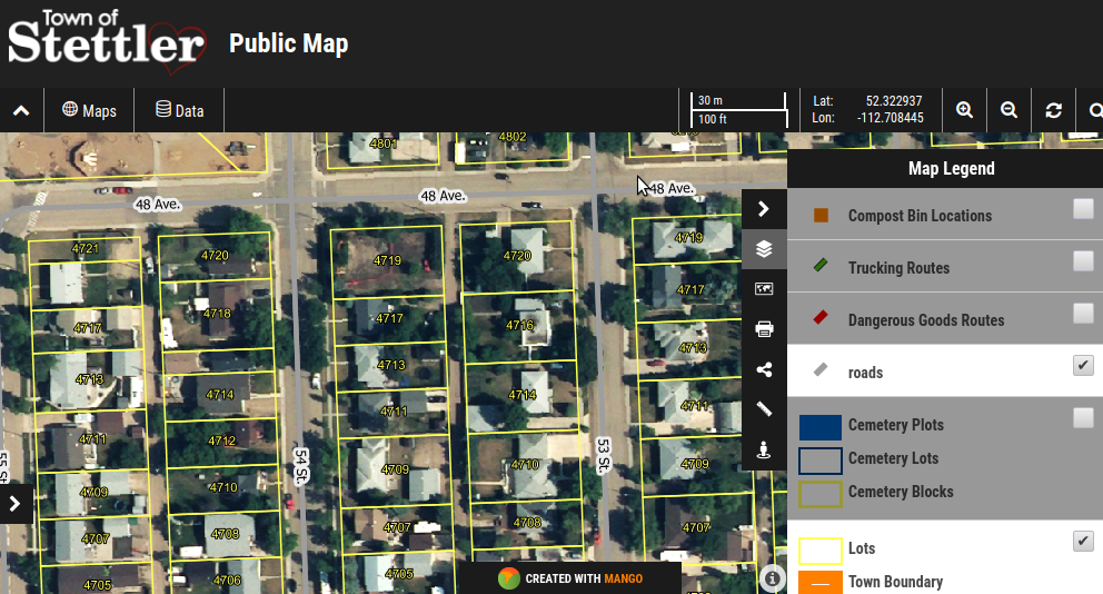
How a small Alberta town used Mango to deliver first-class public web maps on a budget that ruled out enterprise GIS software.