
Background
Plumas County's GIS division, in northeastern California, had been looking to replace a public-facing internet mapping platform that was out of date and short on the functionality the county needed. The replacement had to use the county's existing data, store it securely, and group it into thematic layers for navigation — all without a dedicated server. Just as important, individual county administrators needed to be able to update GIS layers and datasets themselves, quickly, as a live map web service.
The problem Mango solved
Of everything the team researched, Mango was the one product that met every requirement — at a fraction of what other vendors were charging. For Geographic Information Systems Coordinator Becky Osborn, the interface was intuitive, easy to use, and extremely cost-effective, letting the county produce a variety of maps without writing complex code or standing up servers.
Since implementing Mango into our GIS department's website, we went from "basic and boring"… to "WOW!"
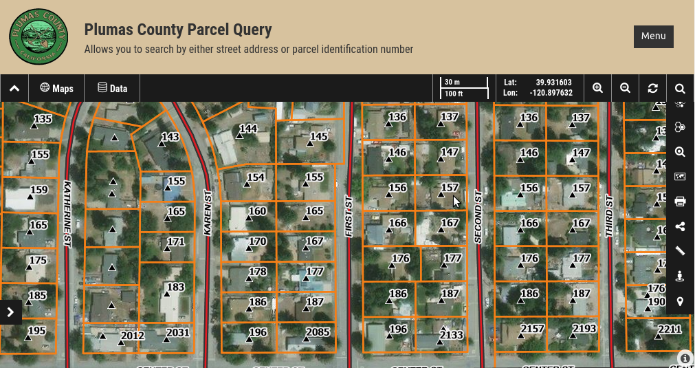
That visual leap mattered. As Becky put it, a picture really is worth a thousand words: users can zoom in to a property or query its land use, and seeing what's actually on the ground helps clarify and support the descriptions.
Results
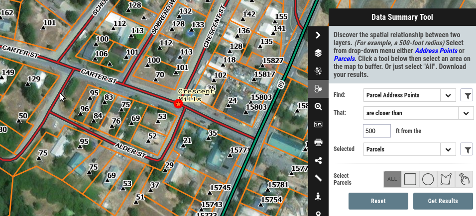
Plumas County's online GIS data is now more manageable, comprehensive, accessible — and, above all, easier to share. Departments across the county use Mango to evaluate data for a range of purposes and to support their decision-making, with tools to run spatial relationships, search and query attributes, and download data.
The feedback from the public and from commercial users has been positive too — and, Becky notes, the experience of working with the Mango team has been just as good as the product: customer service they'd genuinely recommend to anyone weighing up a new or upgraded mapping platform.