
Background
In 2018, Chad Howard — IT director for the 911 office in Henry County, Tennessee — set out to modernise a legacy GIS setup that had grown too rigid for the way his office actually worked. He needed a server to store and edit geospatial data, but the quote that came back from Esri was more than $30,000 — and Windows-only, at that. His office ran a mix of Linux and Apple machines, so the commercial route was both too expensive and technologically a poor fit.
The need was pressing. The 911 office is responsible for maintaining the county's road names and keeping addresses current through field collection, and the existing process was convoluted and error-prone — data moved around on USB drives. To collect field points, Chad would download the latest dataset from his boss's desktop, copy it to his laptop, drive out to collect data, merge the datasets on the laptop, then copy everything back to his boss's desktop from the USB.
So Chad called Randal Hale, owner of the Chattanooga-based consultancy North River Geographic Systems. Together they mapped out what was really needed: a desktop, server, mobile, and web-mapping solution — without the enterprise price tag.

Randal Hale and Chad Howard
How the problem was solved
Rather than one monolithic product, Chad and Randal blended open-source and commercial tools to cover the whole workflow — and it worked well enough that Chad could drop his Esri licence entirely.
Field data collection now runs on Fulcrum, an intuitive smartphone app, for around $30 a month. Once points are collected, Chad copies the GeoJSON URL Fulcrum generates and pastes it straight into QGIS, the free, open-source desktop alternative to ArcGIS. The data lives in PostgreSQL/PostGIS, is served through GeoServer, and finally Mango publishes it as a live map that's always up to date — no more USB drives, and everyone works from the latest version.
An entirely new system for just over $2,000 — against the earlier estimate of roughly $30,000.
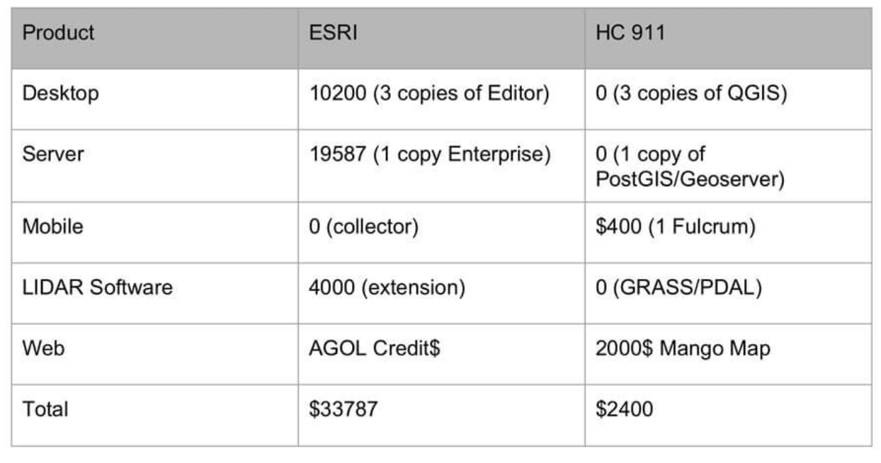
Price comparison of a commercial GIS setup vs. the hybrid setup. Source: Fulcrum
Results
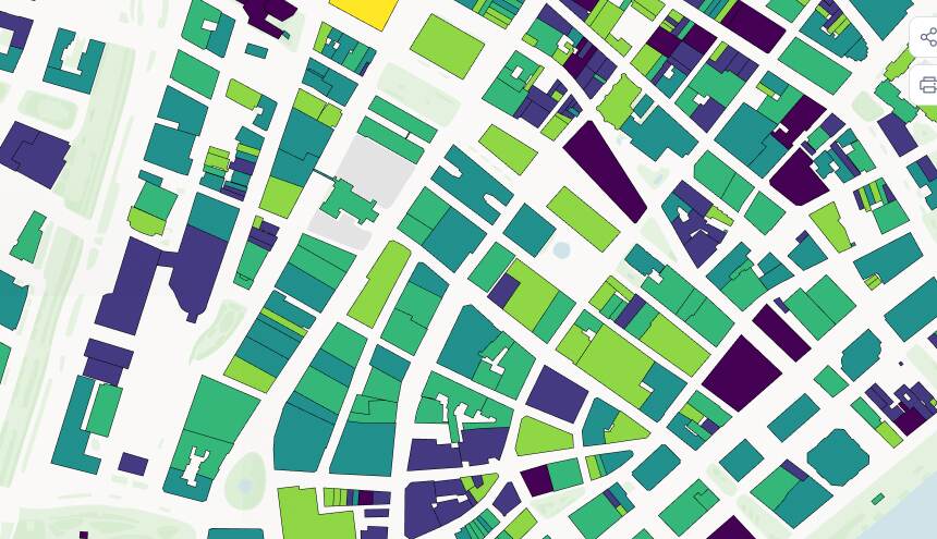
The published maps carry every road and road name the Henry County Enhanced 911 system uses to locate 911 addresses — the data Chad collects and sends to the county — kept constantly current and accessible to anyone, any time.
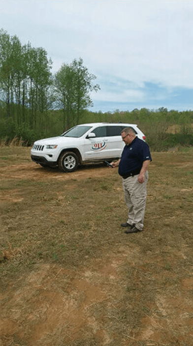
Chad field checking addresses
Mango's Map Portal gathers all the account's public maps onto one homepage, so power users can find the map they need and jump between them easily. The upshot: Henry County built an effective, easy-to-use system on Fulcrum, QGIS, and Mango at a tenth of the cost of a commercial GIS.
Wider impact in the community
Chad didn't stop at the basics. He added a dynamic URL to each land parcel's map pop-up, linking out to a database with a full breakdown of ownership, price, and other details — a feature praised by local real-estate agents, banks, and insurers. Using Mango's private maps, he also built a digital map of the local mainline gas pipes and the service lines running to each house.
Because new Fulcrum data flows through to the Mango map automatically — the Dropbox sync tool refreshes the file every night — the department gets tighter workflow control and always-current maps, which Chad says has made it "more functional than before."
Henry County is a clear example of how a city or county office can improve workflows, lift productivity, and drive efficiency at a fraction of the cost of an enterprise GIS — with a little know-how and a willingness to blend open-source and commercial tools.